Sign up for the Family Tree Newsletter Plus, you’ll receive our 10 Essential Genealogy Research Forms PDF as a special thank you!
Get Your Free Genealogy Forms
"*" indicates required fields
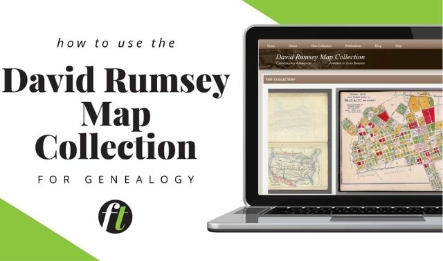
Many genealogists rank censuses among the most useful records. But in addition to census returns, researchers can access another great resource from the census-taking process: enumeration district maps.
What are enumeration districts? Since 1880, the US Census Bureau has divided states into numbered enumeration districts (EDs) to organize enumerators’ efforts. Each ED was sized such that one census-taker (enumerator) could count the population there in a day. You can find ED numbers for your ancestor’s hometown using the Unified Census ED Finder tool.
The Census Bureau created ED maps that display the boundaries and numbers of each ED. On the ED map below (from Allen County, Ohio, in 1940), ED numbers are larger and lighter than the other type on the page. ED boundaries, which are usually along roads or railroad tracks, are in black.
ED maps are valuable companions in census research, providing a visual representation of how enumerators conducted their research. They’re also useful for genealogists, particularly when you compare them to contemporary street maps to see where your ancestor’s neighborhood was and where he lived in relation to another family. Some maps, like this one, label local landmarks such as churches and schools.
In addition, the size of your ancestor’s ED reflects how many people lived within it. Geographically smaller EDs have a greater population than do larger EDs, making them helpful when indicating population size and density. In this map, the shaded area—the city of Lima, Ohio—has ED numbers 2-21 through 2-56, while EDs surrounding the city cover large swaths of land.
Most surviving ED maps are at the National Archives and Records Administration. On FamilySearch.org, you can browse a collection of these maps from the censuses taken between 1910 and 1940, organized by state and county.

From the December 2015 Family Tree Magazine
ADVERTISEMENT