Atlas of Historical County Boundaries
This essential site from Chicago’s Newberry Library can solve your research riddles with its interactive maps of shifting county lines.
VISIT SITEAtlas of the Historical Geography of the United States
Even better than the original 1932 atlas, which chronicles the American story from 1492 on, this site enhances the nearly 700 maps with animation to show change over time or views of the underlying data.
VISIT SITEBureau of Land Management General Land Office Records
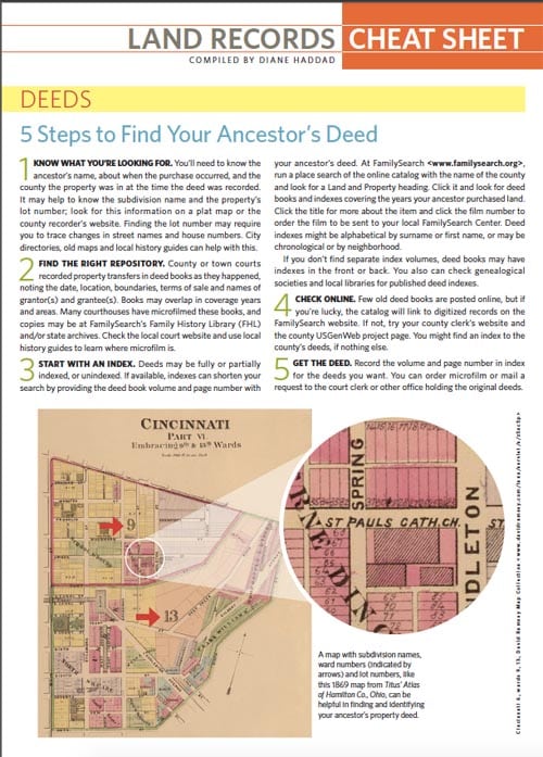
Start your land-records research here, with a database of more than 5 million federal land title records from 1788 on. No luck? Move on to the images of survey plats and field notes, control document index records and land status records.
VISIT SITEDavid Rumsey Map Collection
Pick your viewer (Google Earth? Insight Java Client? The list goes on) and dive into more than 95,000 historical maps and related images from Ankara to Zeeland.
VISIT SITEHistoric Map Works
Peruse 1.6 million historical maps—many of them compatible with the “geographic time machine” of Historic Earth that overlays them with a modern map. Prints and full-size downloads are available for purchase.
VISIT SITEMapire
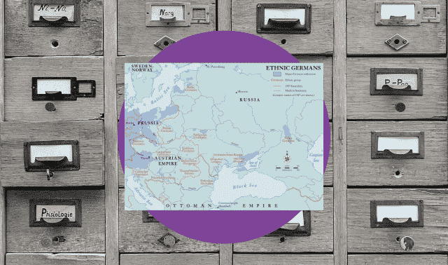
Gorgeous color maps, viewable side-by-side with modern maps or in 3D, bring 18th- and 19th-century Europe to life. It’s strongest on the former Austro-Hungarian Empire, but now extends to Scotland and Norway.
VISIT SITEUnited States Geological Survey
Generate a map using the National Map, find obscure ancestral places, and explore satellite and topographic views.
VISIT SITE