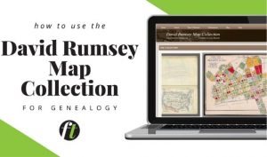
How to Use the David Rumsey Map Collection for Genealogy
The David Rumsey Map Collection boasts over 115,000 unique resources on its free online portal. In this video, Sunny Morton provides a thorough walk-through of this tool.
Read More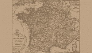
Historical Research Maps: French Départements
Learn about your ancestors who strived for liberté, fraternité and égalité with this map of the French during and after the French Revolution.
Read More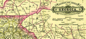
Document Detective: Understanding Railroad Maps Premium
Railroad maps can provide useful, interesting information about your ancestors and their communities. Here are eight tips for using them.
Read More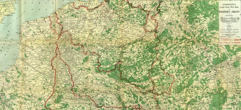
Research Roadmap: World War I Western Front Premium
Celebrate Christmas with this WWI map of the famous "Christmas Truce" of 1914.
Read More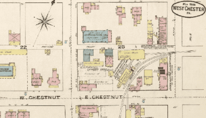
7 Most Useful Historical Maps Premium
Genealogy isn't all text records and photos. Map out your ancestor's community and step back into time with these most useful historical maps.
Read More
Using Google Earth for Genealogy
Did you know that there are hundreds of free historical maps right inside of the free Google Earth Pro software? Learn how to use Google Earth for genealogy.
Read MoreSign up for the Family Tree Newsletter
Plus, you'll receive our 10 Essential Genealogy Research Forms PDF as a special thank you!
Get Your Free Genealogy Forms
"*" indicates required fields
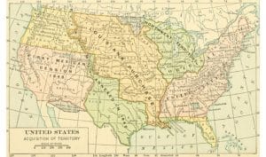
From Sea to Shining Sea: A United States Expansion Map Premium
America's size nearly tripled as the United States "manifested its destiny" in the 1800s. This US expansion map shows the country's major land gains.
Read More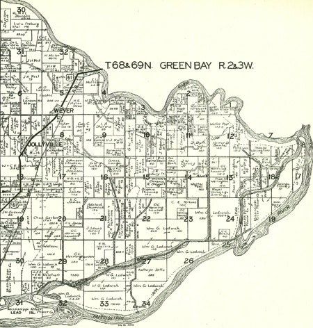
Historical Research Maps: Plat Maps
Gaze into your ancestor's past with plat maps, which show the divisions of land in your ancestor's neighborhood.
Read More
What’s What? Using Old Maps, Atlases and Gazetteers in Your Family History
In this article, you'll learn to distinguish between maps, atlases and gazetteers as well as useful resources for finding each type of geographical resource.
Read More
Historical Research Maps: Sanborn Fire Insurance Maps Premium
Gaze into the streets where your ancestors lived with one of the most reliable collections of maps: Sanborn fire insurance maps.
Read More